
Most people picture a single four-day hike when they think about getting to Machu Picchu. That famous path is one thread in a 25,000-mile tapestry of stone that once held a continent together. Not a tourist route. A massive imperial highway connecting six modern countries before any of those countries had names.
The Qhapaq Ñan was the nervous system of Tawantinsuyu. Fresh ocean fish reached mountain emperors in two days because of it. That’s the scale worth understanding before walking any part of what survives today.
The ‘Spine’ of an Empire: How the Inca Road System United Six Modern Countries
Looking past modern borders is the only way to grasp the massive Inca road system properly. The Andes form the backbone of South America and the main thoroughfare ran its full length, Colombia to Argentina, six countries, one connected superhighway built centuries before asphalt existed anywhere.
Hundreds of transverse routes branched off the central artery east to west, linking frozen high-altitude plateaus to the humid Amazon and the dry Pacific coast. The Tawantinsuyu imperial communication routes moved vital coastal goods to mountain capitals in days because of that horizontal web. Many popular Peru hiking trails today are surviving fragments of those ancient supply lines and nothing more.
The whole system functioned like a living organism pumping resources and information across rugged terrain. Keeping it alive through regular earthquakes, extreme floods, and vertical mountain drops required innovation specialists are still mapping out five centuries later.
Building Without the Wheel: The Engineering Secrets That Kept Stone Trails Intact for 500 Years
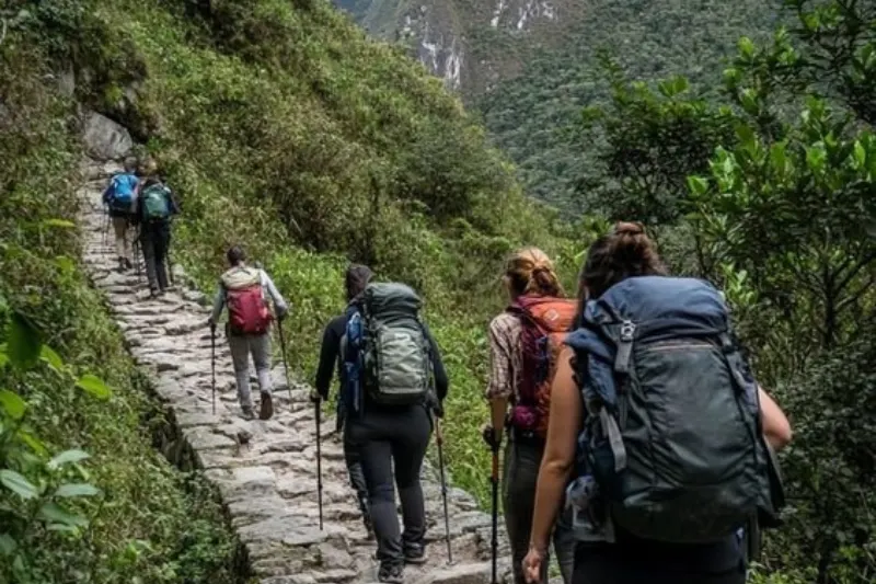
Rolling a heavy cart up a steep stone staircase doesn’t work. That obvious fact explains why Inca engineers never touched the wheel for their continental highway. Vertical stepped pathways suited for human runners and sure-footed llamas replaced what wagons would have demanded. The preservation of pre-Columbian stone masonry endures as one of history’s greatest construction achievements because these builders adapted to the mountain rather than fighting it.
Water destroys mountain roads faster than anything else. Torrential seasonal rainfall obliterates modern asphalt in months, but the Inca Trail Peru was engineered as a living drainage system from the beginning. Every step on it today covers a multi-layered water management structure designed to redirect moisture before landslides happen. Five centuries later it still works exactly as designed.
Three specific techniques kept erosion from winning:
- Stone Paving: Interlocking flat rocks capped the road surface preventing heavy rains from turning topsoil to mud.
- Drainage Culverts: Hidden stone channels beneath the surface captured running water and redirected it safely off the trail.
- Retaining Walls: Massive tiered barricades braced the slopes from below holding earth in place while supporting the road’s weight above.

The Human Internet: How Chasqui Runners and Tambos Connected the Andes
No horses, no wheels, no written alphabet. Moving information fast required something completely different from anything else in the ancient world. The chasqui, an elite relay runner, turned the stone network into a high-speed human communication system. Short sprinting bursts along royal pathways moved information 150 miles daily and delivered fresh marine catches to Andean leaders before spoiling happened.
Every few miles a tambo waited alongside the trail, a government rest station functioning like a modern highway plaza. Food, clothing, and shelter kept runners moving without the brutal geography breaking the supply chain at any point along the Tawantinsuyu imperial communication routes.
Complex data traveled via the quipu, a portable device of knotted colored strings recording census figures, military commands, and resource inventories. Runners passed these physical cords alongside memorized verbal instructions, maintaining accuracy across thousands of miles without a single written word existing anywhere in the system.
Choosing Your Path: A Comparison of the Classic 4-Day Trek vs. the Rugged Salkantay Route
Deciding to walk to Machu Picchu is easy. Picking the right trail requires matching fitness to terrain honestly. Any Salkantay Trek vs Inca Trail comparison reduces to a choice between ancient history and raw wilderness, two different journeys ending at the same destination.
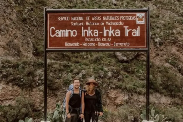
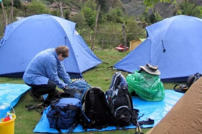
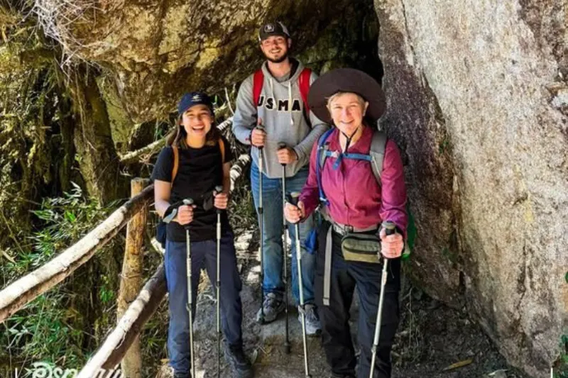
The classic 4 day trek itinerary puts hikers on actual stones the empire laid. Hidden ruins, dramatic sunrise entry through the Sun Gate, and strict daily limits. Securing limited trekking permits in Cusco requires booking months early since only 500 people including porters and guides can legally enter per day.
Four differences worth understanding before committing:
- Permit Requirements: Salkantay requires no advance government quotas unlike the strictly capped Classic Trail.
- Peak Altitude: Salkantay crests at 15,090 feet, significantly higher than the Classic route’s 13,828 feet.
- Scenery Type: Classic Trail offers jungle-covered archaeological ruins while Salkantay delivers snow-capped peaks and glacial lakes.
- Difficulty Level: Salkantay demands greater cardiovascular endurance for wilder steeper ascents.
Conquering Dead Woman’s Pass: Expert Strategies for Managing Altitude and High-Elevation Hiking
How difficult is the hike to Dead Woman’s Pass? A 4,000-foot vertical ascent pushing the body to 13,828 feet where effective oxygen drops sharply. Three days acclimatizing in Cusco before starting gives red blood cells the time needed to adapt. That window separates a difficult hike from a dangerous one and skipping it is consistently the mistake people regret most.
Managing altitude sickness during high elevation hikes means catching early signals immediately. Throbbing headaches, sudden nausea, or profound dizziness are the body communicating something that deserves a response rather than dismissal. Resting before mild discomfort escalates is the only strategy that reliably works up here.
The essential packing list for Andean trekking prioritizes these five items:
- Hydration salts
- Coca leaves and tea
- Acetazolamide (consult a doctor before departure)
- Sunscreen
- Lightweight layers
Beyond Machu Picchu: Hidden Archaeological Gems of the Urubamba Valley
Rushing toward the finish line means walking past three remarkable settlements clinging to misty cliffs. Sayacmarca, Phuyupatamarca, and Wiñay Wayna served as strategic outposts for travelers navigating alternative routes to the Sun Gate. These sites reveal how the ancient civilization managed daily survival on a mountain highway rather than how it presented itself ceremonially.
Different seeds planted on varying terrace steps let farmers manipulate microclimates and identify which crops thrived at specific temperatures. That testing system fed an expanding empire through harsh unpredictable Andean conditions year after year without modern agricultural science supporting any of it.
Rough-hewn fieldstone housing sitting alongside perfectly carved Ashlar masonry blocks reserved exclusively for imperial temples tells the social hierarchy story more clearly than any sign could. The contrast is immediately visible once someone knows what the difference actually looks like in stone.
Ethics on the Trail: Supporting Quechua Porters and Practicing Sustainable Tourism
The modern lifeline of Peru hiking trails depends entirely on local communities. The cultural significance of Quechua porters extends beyond carrying gear. These workers are living connections to the ancient empire operating in the same high-altitude environment their ancestors built and maintained for centuries. Verifying tour operators follow the Porter Protection Law guarantees fair wages, proper shelter, and safe weight limits for the people making the trek possible.
Three habits prevent cumulative damage across millions of annual visitors:
- Pack out organic waste including fruit peels that freeze rather than decompose in high-altitude cold.
- Walk only on paved stone paths to prevent erosion from foot traffic spreading beyond trail boundaries.
- Maintain respectful distance from fragile archaeological walls and native wildlife throughout the journey.
Planning Your Andean Pilgrimage: How to Secure Permits and Pick the Best Month
Access is highly restricted and advance planning isn’t optional for any serious attempt at the trail. Alternative routes like the Salkantay use the exact same vast highway system when permits sell out or timing doesn’t align. The best month to hike to Machu Picchu depends on what matters most:
- May through August: Dry season with ideal conditions and the highest crowds.
- September through November: Shoulder season with balanced weather and manageable trail traffic.
- December through March: Wet season with the trail closed entirely in February for preservation maintenance.
Walking these engineered stones connects visitors to a 500-year-old legacy that survived earthquakes, floods, and centuries of neglect. Preparing properly and treading respectfully is the minimum the trail deserves from anyone who walks any part of it.